
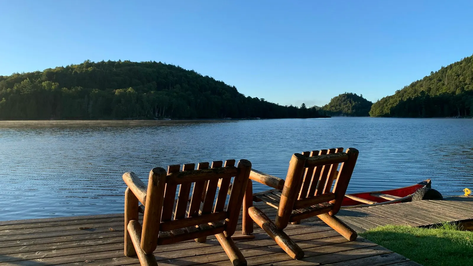
When someone calls us about “a place on Lake Wedowee,” the first thing we do is find out what they mean. Lake property can be a house with a dock in the backyard, a house in a subdivision with a shared boat ramp two streets over, or a house on a ridge with a view of the water and no way to touch it. All three are legitimate ways to live here. They are also priced very differently, and buyers who do not know the difference tend to overpay or pass on a property that would have suited them fine.
This article sorts out the three types, explains the ownership line that makes waterfront here different from what many buyers expect, and walks through the parts of the lake that matter when comparing properties.
The three kinds of lake property
Waterfront
Waterfront means your lot adjoins the lake and you can apply to Alabama Power for a dock on the shoreline in front of it. This is what most buyers picture when they say “lake house,” and it is the most expensive of the three because there is a fixed amount of it. One qualifier, covered in the next section: on this lake, waterfront does not mean you own to the water’s edge.
Water access
Water access, sometimes called deeded or community access, means the lot does not touch the lake but comes with a right to use a shared access point: a community boat ramp, a shared dock, a common area, or some combination. The right is usually written into the subdivision covenants or a recorded easement, and the specifics vary from one development to the next. Some access lots come with an assigned slip. Many do not.
These properties cost materially less than waterfront and suit buyers who do not need a dock out the back door. Check what the access actually consists of, who maintains it, and whether there are fees or a waiting list for slips.
Water view
Water view means you can see the lake from the house or lot but have no deeded right to reach it. The terrain here is hilly enough that some view lots have views better than many waterfront lots. They are generally the least expensive of the three. If the view is what you are paying for, ask what could be built between you and the water. A view across someone else’s undeveloped lot is not guaranteed.
Why “waterfront” here means the 795 line
This is the part that surprises buyers from other lakes. Lake Wedowee, which Alabama Power officially names R.L. Harris Reservoir (Harris Lake), is a hydroelectric project operated under a federal license. Alabama Power did not just build the dam; it bought the land the lake sits on, plus a margin above it.
Alabama Power’s residential shoreline guidelines for Harris lay it out in a table on the first page. Full pool is 793 feet above mean sea level. Alabama Power owns the land in fee up to the 795 foot contour. Above that, it holds a scenic easement up to the 800 foot contour, or in certain areas 50 linear feet back from the 793 line.
On a typical waterfront lot:
- Below 795 feet: Alabama Power owns it outright, including the lakebed and the first strip of dry land above summer full pool. The guidelines state that the property owner “has no property rights that extend into the lake, as Alabama Power owns in fee this property.”
- Between 795 and 800 feet: you own it, but Alabama Power’s scenic easement limits what you can do. Without written authorization, the guidelines prohibit changing the contour of the land, seeding grass or gardens, building fences or wells, removing trees more than three inches in diameter, and clearing shrubs over four feet tall.
- Above 800 feet: your land, subject to covenants and county rules.
So when we say a property is waterfront, we mean the lot adjoins Alabama Power’s fee-owned strip and you can apply for a permit to put a dock on it. Once permitted, the dock sits on Alabama Power’s land under what the guidelines call “a mere license.” The guidelines also say lots with less than 100 linear feet of shoreline may be restricted or ineligible for structures, so on a small or oddly shaped lot, check before you assume a dock is possible.
None of this is a reason to avoid waterfront. Every waterfront owner on the lake is in the same position, and the system has worked here for decades. It is simply something to understand before comparing a Lake Wedowee listing to one on a privately owned lake.
The parts of the lake, and why they are not interchangeable
Alabama Power lists the lake at 9,780 acres and 367 miles of shoreline. Outdoor Alabama gives 10,660 acres and about 271 miles. The numbers differ by source, so we say “roughly 10,000 acres” and leave it there. What matters more than the totals is the shape.
The lake is fed by two rivers, the Big Tallapoosa and the Little Tallapoosa. They come together near Alabama Highway 48, which crosses the lake and splits it into an upper and lower half. Outdoor Alabama puts the confluence about 8.5 river miles upstream from the dam. South of it the lake widens and runs down to R.L. Harris Dam.
The lower lake and the dam area
This is the widest, deepest part of the lake. Properties here tend to have deeper water at the dock, longer views, and more boat traffic on summer weekends. Points and main-channel lots take more wind and wake than coves. Because the lower lake has the most depth to begin with, it is the least affected by the winter drawdown, which is one reason lower-lake waterfront generally carries the strongest prices.
The Big Tallapoosa arm
The larger river arm runs north from Highway 48. It has a river feel in places, with a mix of deep main-channel lots and shallower coves. Buyers who want a quieter setting and do not mind a longer boat ride to the lower lake often end up here.
The Little Tallapoosa arm
The smaller arm is narrower and more intimate. Wedowee Creek comes in on this side, and Outdoor Alabama calls it one of the more fertile tributaries on the Little Tallapoosa, so fishing is a draw. The tradeoff is that the upper reaches of both arms are the parts most changed by the drawdown.
Year-round water versus winter-shallow coves
Alabama Power lowers Lake Wedowee from a summer pool of 793 feet to a winter pool of 785 feet each fall. Under the 2024 schedule, the drawdown began October 1 and was expected to reach winter pool by November 30, and the lake typically starts refilling around April 1. Alabama Power publishes the schedule each year, so check the current one.
Eight feet of drop affects properties very differently. A main-channel dock in the lower lake may lose eight feet and still float in plenty of water. A dock at the back of a shallow cove, or up one of the river arms, can sit on dry ground from December through March. At winter pool, some of the upper river reaches become shallow enough to be a navigation hazard.
Because of this we divide waterfront into two informal categories: year-round water, where the dock works in every season, and summer water, where it is only fully usable at full pool. Both sell. A summer-water lot can be a good value for a family that uses the lake from Memorial Day to Labor Day. But it should be priced as what it is, and the buyer should know before closing, not the following January.
The only reliable way to know which category a property falls into is to see it at winter pool or ask someone who has. Terry will tell you what he expects the dock to look like in February.
How price tracks these differences
We are not going to quote numbers here, because sales volume on Lake Wedowee is small enough that any single figure can mislead, and because prices move. What we can describe is the pattern.
Waterfront costs more than water access, which costs more than water view, by a wide margin at each step. Within waterfront, year-round deep water on the lower lake sits at the top. Main-channel and point lots generally bring more than cove lots, though a protected cove with good winter depth can be the exception. Lots that lose their water in winter sit lower, and the discount is usually larger than first-time lake buyers expect. Shoreline length, the slope from house to water, and whether an existing dock is permitted and in good repair all move the price too.
Water-access and view properties are priced more like conventional homes, with the lake amenity as a premium on top. A deeded slip in a maintained community dock is worth considerably more than a right to launch at a gravel ramp.
If you want current numbers for a particular kind of property, ask us. We can pull recent MLS sales for the area and property type you are considering and tell you how many sales are behind the figure.
A note on the license renewal
Alabama Power’s federal license for the lake expired November 30, 2023 and is being renewed; FERC staff issued a final environmental impact statement on March 31, 2025. As of this writing we have not seen a new license order. Pool levels and shoreline rules are set under that license, so they could change once it is issued.
Let us show you the difference
The fastest way to understand the three property types, and the difference between the lower lake and the river arms, is a few hours on the water. Terry shows most waterfront by boat, and we are glad to put together a route that covers a little of everything. Call us at 404-317-5120 or reach us through the contact page.
Sources
- Alabama Power: General Guidelines for Residential Shoreline Permitting, Lake Harris (revised December 2020)
- Alabama Power Shorelines: Harris lake page
- Outdoor Alabama: Harris Reservoir
- Alabama Bass Trail: Lake Wedowee feature story
- Alabama Power Shorelines: Lake drawdown schedule for Fall 2024 released
- Lake Wedowee Life: full pool returns around April 1
- Harris Relicensing (Alabama Power)
- FERC: Staff issues Final Environmental Impact Statement for the R.L. Harris Hydroelectric Project